I have multiple “locations” that I want to mow that are not connected to a physical doc, I’ll be moving the Yarbo there and back occasionally. Now that I’ve drawn them it’s really hard to place the background from google maps, and the default zooming/re-zooming usually “centers” in nothing land. I also don’t need to calculate routes between areas so those don’t need to even load unless I’m mowing there. I’d also like to be able to have the geofence in multiple locations. Currently have to disable it when I go to the other couple areas.
This is more common than I bet they realize. Is your second location close enough for your data center to still work for automation (over 4G or WiFi)?
4G, I could probably log into wifi but don’t want to bother with re-entering credentials every time
I’m in the same boat. I’m mostly in no man’s land every time I need to see my maps and have to start a work plan and find that map to see the preview. I have to hit center to find yarbo and then find the area to work on. It would be good if the map was centered over yarbo always.
NEVER use the words NEVER and ALWAYS. ![]()
Or Yarbo’s definition of “very soon”
In the scale of the history of the universe, updates ARE coming very soon. ![]()
Or playing horseshoes with a thermonuclear device. The first to throw will always score at least one point
![]()
Hi @rcguymike Great suggestions — thanks for sharing them! We’ve passed your feedback to our team for consideration.
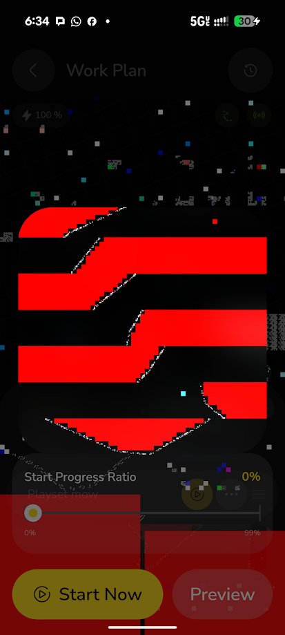
Well that’s festive.
Oh wow. Thats something different.
very weird.
Hi @rcguymike thanks for letting us know! Our team has tried to fix the issue from our end — please keep an eye on it and see if the issue persists. If it does, a quick screenshot of the error will really help us look into it further.